Steps to Ingrate Data:
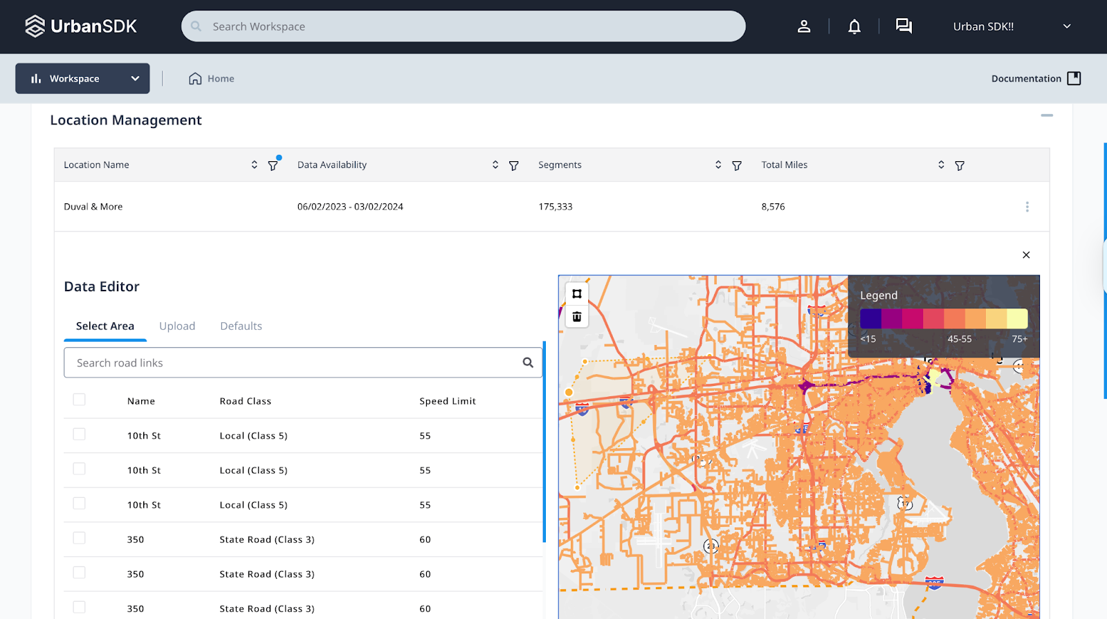
- Navigate to Settings → Map Management → Location
- Locate target location (Duval & More) and click the Options button
- Select Manage speed limits from the available options
- Click Upload and select appropriate speed limit file
- Apply changes to speed limits:
- Go to the Select Area section on the map, then using the selection tool, select an area and adjust speed limits for that region
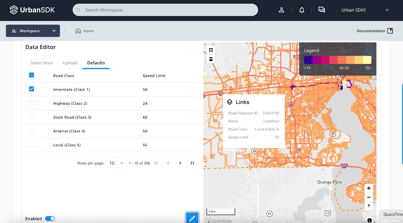
- Adjust default values manually within the Defaults section (ensure Enabled button is toggled Blue to edit)
Result of Data Integration:
- Speed limit data is integrated into the location and becomes available for analysis in Workflows and Insights
- The updated limits are reflected across related layers and visualizations